Etherow - Goyt Way
Introduction
The photograph on this page of Etherow - Goyt Way by Kevin Waterhouse as part of the Geograph project.
The Geograph project started in 2005 with the aim of publishing, organising and preserving representative images for every square kilometre of Great Britain, Ireland and the Isle of Man.

There are currently over 7.5m images from over 14,400 individuals and you can help contribute to the project by visiting https://www.geograph.org.uk
Etherow - Goyt Way
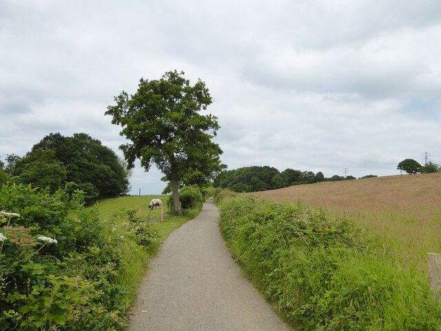
Image: © Kevin Waterhouse Taken: 24 Jun 2024
The named bridleway a little to the east of the junction with a path that allows access to a relatively new footbridge across the River Goyt.
Images are licensed for reuse under creativecommons.org/licenses/by-sa/2.0
Image Location
Latitude
53.404517
Longitude
-2.111718