Field of Maize at Burrow Fields
Introduction
The photograph on this page of Field of Maize at Burrow Fields by Jonathan Clitheroe as part of the Geograph project.
The Geograph project started in 2005 with the aim of publishing, organising and preserving representative images for every square kilometre of Great Britain, Ireland and the Isle of Man.

There are currently over 7.5m images from over 14,400 individuals and you can help contribute to the project by visiting https://www.geograph.org.uk
Field of Maize at Burrow Fields
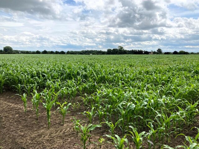
Image: © Jonathan Clitheroe Taken: 13 Jul 2024
Looking south from the northernmost corner of the field. The recent rerouting of the A46 old Roman Road (the new road now located to the right of this field) has swallowed up the footpath I had been following but the field edge was still navigable and I was able to exit at the nearby garage/garden centre.
Images are licensed for reuse under creativecommons.org/licenses/by-sa/2.0
Image Location
Latitude
52.97133
Longitude
-0.9585