Boraston House and lychgate
Introduction
The photograph on this page of Boraston House and lychgate by Mike Parker as part of the Geograph project.
The Geograph project started in 2005 with the aim of publishing, organising and preserving representative images for every square kilometre of Great Britain, Ireland and the Isle of Man.

There are currently over 7.5m images from over 14,400 individuals and you can help contribute to the project by visiting https://www.geograph.org.uk
Boraston House and lychgate
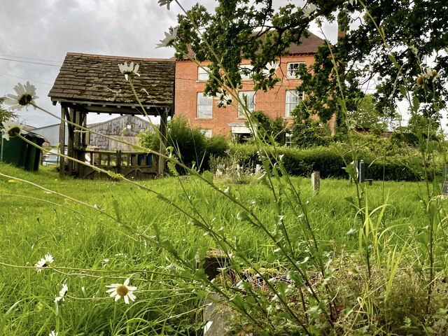
Image: © Mike Parker Taken: 10 Jul 2024
Seen from the churchyard of St John's church, Boraston.
Images are licensed for reuse under creativecommons.org/licenses/by-sa/2.0
Image Location


Leaflet Map data © OpenStreetMap
Latitude
52.327532
Longitude
-2.5687