Farmland south-east of Ashwell
Introduction
The photograph on this page of Farmland south-east of Ashwell by Stephen McKay as part of the Geograph project.
The Geograph project started in 2005 with the aim of publishing, organising and preserving representative images for every square kilometre of Great Britain, Ireland and the Isle of Man.

There are currently over 7.5m images from over 14,400 individuals and you can help contribute to the project by visiting https://www.geograph.org.uk
Farmland south-east of Ashwell
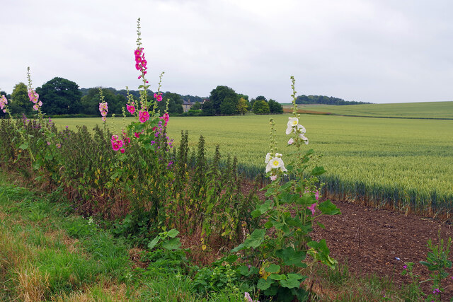
Image: © Stephen McKay Taken: 3 Jul 2024
Colourful hollyhocks line Station Road close to a house called Broadfields. The name is appropriate given the size of the wheat fields here.
Images are licensed for reuse under creativecommons.org/licenses/by-sa/2.0
Image Location
Latitude
52.036293
Longitude
-0.131863