Manston St James the Great: north side
Introduction
The photograph on this page of Manston St James the Great: north side by Stephen Craven as part of the Geograph project.
The Geograph project started in 2005 with the aim of publishing, organising and preserving representative images for every square kilometre of Great Britain, Ireland and the Isle of Man.

There are currently over 7.5m images from over 14,400 individuals and you can help contribute to the project by visiting https://www.geograph.org.uk
Manston St James the Great: north side
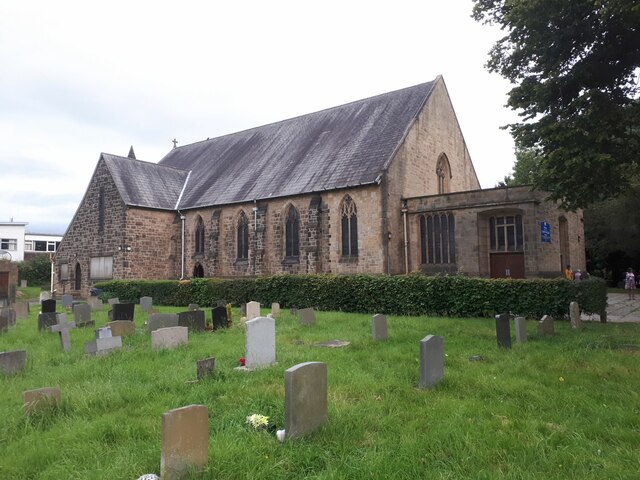
Image: © Stephen Craven Taken: 10 Jul 2024
This view includes the 1962 western extension which includes the kitchen and toilets, as well as the main building of 1913 by Chorley and Connon. According to the parish history booklet, the extension was a built with stone reclaimed 'from a building being demolished in Burmantofts cemetery' (presumably the former mortuary chapel Image).
Images are licensed for reuse under creativecommons.org/licenses/by-sa/2.0
Image Location
Latitude
53.811179
Longitude
-1.446259