Evedon Road
Introduction
The photograph on this page of Evedon Road by Kate Jewell as part of the Geograph project.
The Geograph project started in 2005 with the aim of publishing, organising and preserving representative images for every square kilometre of Great Britain, Ireland and the Isle of Man.

There are currently over 7.5m images from over 14,400 individuals and you can help contribute to the project by visiting https://www.geograph.org.uk
Evedon Road
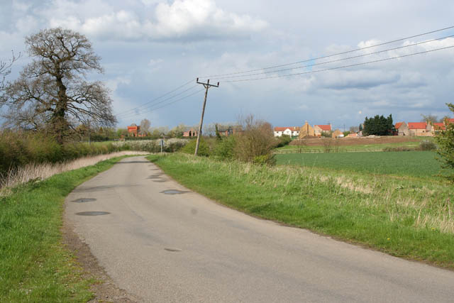
Image: © Kate Jewell Taken: 28 Apr 2008
Looking towards Evedon, a commuter village just north east of Sleaford, with a lot of new build and conversions. The square red brick building just to the right of the large tree is a converted water tower.
Images are licensed for reuse under creativecommons.org/licenses/by-sa/2.0
Image Location
Latitude
53.013511
Longitude
-0.368244