34 & 36 Tettenhall Road, Wolverhampton
Introduction
The photograph on this page of 34 & 36 Tettenhall Road, Wolverhampton by Richard Law as part of the Geograph project.
The Geograph project started in 2005 with the aim of publishing, organising and preserving representative images for every square kilometre of Great Britain, Ireland and the Isle of Man.

There are currently over 7.5m images from over 14,400 individuals and you can help contribute to the project by visiting https://www.geograph.org.uk
34 & 36 Tettenhall Road, Wolverhampton
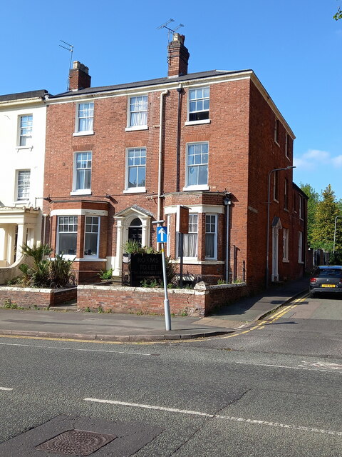
Image: © Richard Law Taken: 20 May 2024
Originally two houses, but now converted to one property, which were originally built in the late 18th century. The whole was Grade II listed https://historicengland.org.uk/listing/the-list/list-entry/1208414 & https://britishlistedbuildings.co.uk/101208414-34-and-36-tettenhall-road-park-ward in 1977.
Images are licensed for reuse under creativecommons.org/licenses/by-sa/2.0
Image Location
Latitude
52.587671
Longitude
-2.144724