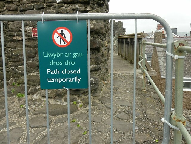
Path temporarily closed
Introduction
The photograph on this page of Path temporarily closed by Alan Murray-Rust as part of the Geograph project.
The Geograph project started in 2005 with the aim of publishing, organising and preserving representative images for every square kilometre of Great Britain, Ireland and the Isle of Man.
There are currently over 7.5m images from over 14,400 individuals and you can help contribute to the project by visiting https://www.geograph.org.uk

Image: © Alan Murray-Rust Taken: 23 Jun 2024
I had climbed three flights of steps to find this notice facing me at the top. I found a Cadw representative at Plas Mawr later, who apologised and thanked me for bring the matter to his attention as the barrier which should also have been at the bottom had clearly been unofficially removed. The closure, for major maintenance work, affected the whole of the western wall between the western corner tower and the quay.

