2008 : Crop spraying near Kingsdown
Introduction
The photograph on this page of 2008 : Crop spraying near Kingsdown by Maurice Pullin as part of the Geograph project.
The Geograph project started in 2005 with the aim of publishing, organising and preserving representative images for every square kilometre of Great Britain, Ireland and the Isle of Man.

There are currently over 7.5m images from over 14,400 individuals and you can help contribute to the project by visiting https://www.geograph.org.uk
2008 : Crop spraying near Kingsdown
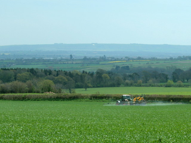
Image: © Maurice Pullin Taken: 26 Apr 2008
Spraying a wheatfield opposite Lodge Farm. The Westbury White Horse Image puts in an appearance as a small white smudge on the centre horizon at a distance of about 11 miles.
Images are licensed for reuse under creativecommons.org/licenses/by-sa/2.0
Image Location
Latitude
51.393807
Longitude
-2.269584