2008 : Kingsdown Golf Club, Red course
Introduction
The photograph on this page of 2008 : Kingsdown Golf Club, Red course by Maurice Pullin as part of the Geograph project.
The Geograph project started in 2005 with the aim of publishing, organising and preserving representative images for every square kilometre of Great Britain, Ireland and the Isle of Man.

There are currently over 7.5m images from over 14,400 individuals and you can help contribute to the project by visiting https://www.geograph.org.uk
2008 : Kingsdown Golf Club, Red course
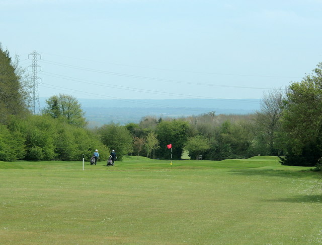
Image: © Maurice Pullin Taken: 26 Apr 2008
Because of its situation on King's Down at an elevation of 160 metres and more, players sometimes must contend with high winds. They also enjoy fine views all round, here we are looking south east toward Westbury. http://www.kingsdowngolfclub.co.uk/course.php
Images are licensed for reuse under creativecommons.org/licenses/by-sa/2.0
Image Location
Latitude
51.400916
Longitude
-2.267039