Kettlewell Beck
Introduction
The photograph on this page of Kettlewell Beck by Stephen Craven as part of the Geograph project.
The Geograph project started in 2005 with the aim of publishing, organising and preserving representative images for every square kilometre of Great Britain, Ireland and the Isle of Man.

There are currently over 7.5m images from over 14,400 individuals and you can help contribute to the project by visiting https://www.geograph.org.uk
Kettlewell Beck
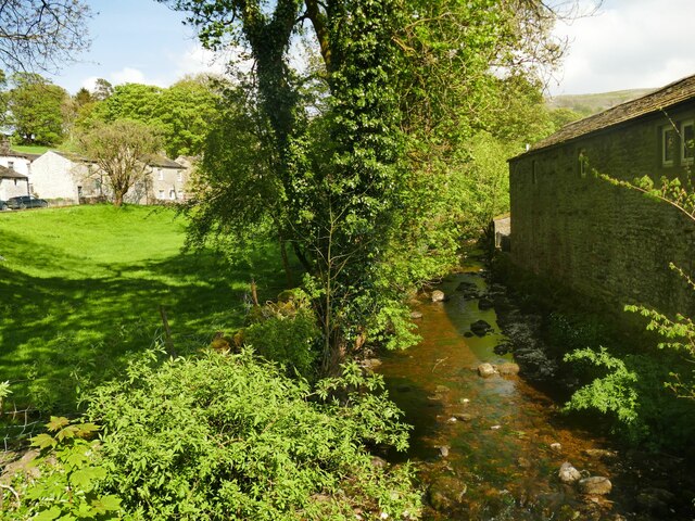
Image: © Stephen Craven Taken: 8 May 2024
There was relatively little flow in the beck during a dry period in May, but it is prone to flash floods from the large catchment on the western slope of Great Whernside.
Images are licensed for reuse under creativecommons.org/licenses/by-sa/2.0
Image Location


Leaflet Map data © OpenStreetMap
Latitude
54.146699
Longitude
-2.045739