Clanfield village
Introduction
The photograph on this page of Clanfield village by Martyn Pattison as part of the Geograph project.
The Geograph project started in 2005 with the aim of publishing, organising and preserving representative images for every square kilometre of Great Britain, Ireland and the Isle of Man.

There are currently over 7.5m images from over 14,400 individuals and you can help contribute to the project by visiting https://www.geograph.org.uk
Clanfield village
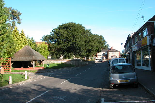
Image: © Martyn Pattison Taken: 14 Nov 2005
Showing the well on the left, behind which is St James' church, and the Rising Sun pub straight ahead.
Images are licensed for reuse under creativecommons.org/licenses/by-sa/2.0
Image Location


Leaflet Map data © OpenStreetMap
Latitude
50.946509
Longitude
-1.008583