Junction on the Greensand Way
Introduction
The photograph on this page of Junction on the Greensand Way by Des Blenkinsopp as part of the Geograph project.
The Geograph project started in 2005 with the aim of publishing, organising and preserving representative images for every square kilometre of Great Britain, Ireland and the Isle of Man.

There are currently over 7.5m images from over 14,400 individuals and you can help contribute to the project by visiting https://www.geograph.org.uk
Junction on the Greensand Way
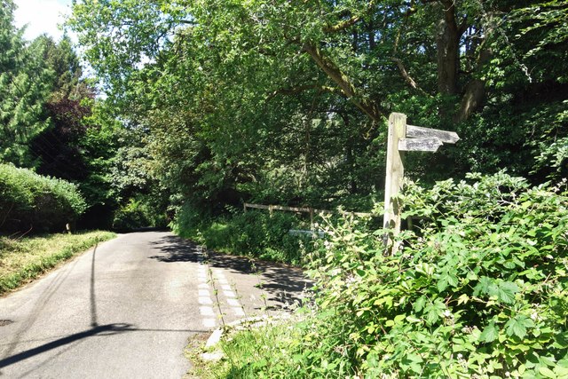
Image: © Des Blenkinsopp Taken: 26 Jun 2024
The signpost points the way down the steep hill towards Witley Station. This is near the west end of the Greensand Way, a long distance path which follows the Lower Greensand ridge from Haslemere to Hamstreet in Kent, a length of 174 kms. https://en.wikipedia.org/wiki/Greensand_Way Quite a lot of Greensand is actually visible along the edges of some of these lanes, which have worn down into the soft rock over the centuries.
Images are licensed for reuse under creativecommons.org/licenses/by-sa/2.0
Image Location


Leaflet Map data © OpenStreetMap
Latitude
51.136293
Longitude
-0.660128