Mill Lane
Introduction
The photograph on this page of Mill Lane by Bill Nicholls as part of the Geograph project.
The Geograph project started in 2005 with the aim of publishing, organising and preserving representative images for every square kilometre of Great Britain, Ireland and the Isle of Man.

There are currently over 7.5m images from over 14,400 individuals and you can help contribute to the project by visiting https://www.geograph.org.uk
Mill Lane
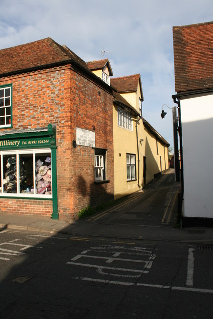
Image: © Bill Nicholls Taken: 26 Apr 2008
Mill lane one of the older lanes in the town, used to lead up to Wilders wagon works.
Images are licensed for reuse under creativecommons.org/licenses/by-sa/2.0
Image Location
Latitude
51.597758
Longitude
-1.12578