Penrhyn Hill
Introduction
The photograph on this page of Penrhyn Hill by Alan Murray-Rust as part of the Geograph project.
The Geograph project started in 2005 with the aim of publishing, organising and preserving representative images for every square kilometre of Great Britain, Ireland and the Isle of Man.

There are currently over 7.5m images from over 14,400 individuals and you can help contribute to the project by visiting https://www.geograph.org.uk
Penrhyn Hill
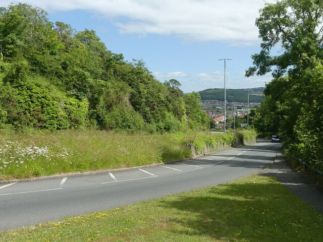
Image: © Alan Murray-Rust Taken: 22 Jun 2024
Now a dual carriageway, the far carriageway has taken over the trackbed of the former Llandudno and Colwyn Bay Electric Railway (tramway). This ran on a separate alignment to the old road to minimise the gradient.
Images are licensed for reuse under creativecommons.org/licenses/by-sa/2.0
Image Location
Latitude
53.319464
Longitude
-3.780247