Highland Core Path RC 33.05 Burn Place to Primary School, Munlochy
Introduction
The photograph on this page of Highland Core Path RC 33.05 Burn Place to Primary School, Munlochy by Julian Paren as part of the Geograph project.
The Geograph project started in 2005 with the aim of publishing, organising and preserving representative images for every square kilometre of Great Britain, Ireland and the Isle of Man.

There are currently over 7.5m images from over 14,400 individuals and you can help contribute to the project by visiting https://www.geograph.org.uk
Highland Core Path RC 33.05 Burn Place to Primary School, Munlochy
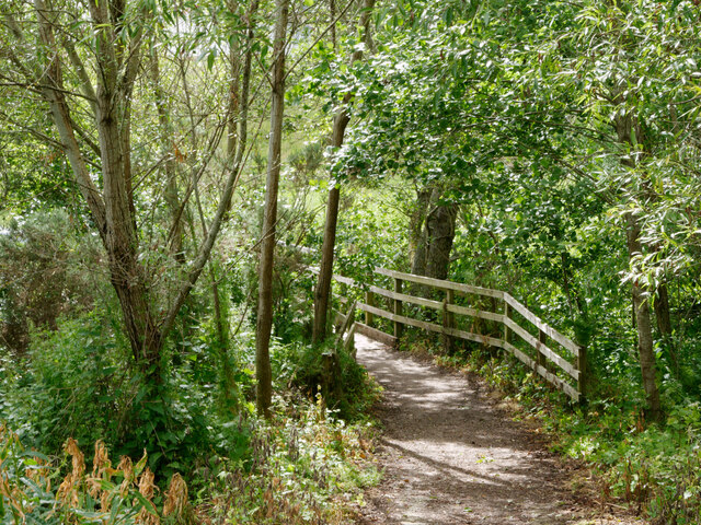
Image: © Julian Paren Taken: 3 Jul 2024
This path close to the centre of Munlochy village allows school children who live to the north of the main road to access the school, without being on a pavement by the road. The image shows the bridge built to cross a burn that enters Munlochy Bay.
Images are licensed for reuse under creativecommons.org/licenses/by-sa/2.0
Image Location
Latitude
57.548852
Longitude
-4.263631