Cycle route following route of old railway
Introduction
The photograph on this page of Cycle route following route of old railway by Kevin Waterhouse as part of the Geograph project.
The Geograph project started in 2005 with the aim of publishing, organising and preserving representative images for every square kilometre of Great Britain, Ireland and the Isle of Man.

There are currently over 7.5m images from over 14,400 individuals and you can help contribute to the project by visiting https://www.geograph.org.uk
Cycle route following route of old railway
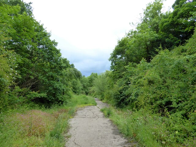
Image: © Kevin Waterhouse Taken: 16 Jun 2024
On the former Kirkburton branch line. The former railway trackbed has been covered in concrete at this point.
Images are licensed for reuse under creativecommons.org/licenses/by-sa/2.0
Image Location
Latitude
53.637416
Longitude
-1.726216