Sea defences, Penrhyn Bay
Introduction
The photograph on this page of Sea defences, Penrhyn Bay by Alan Murray-Rust as part of the Geograph project.
The Geograph project started in 2005 with the aim of publishing, organising and preserving representative images for every square kilometre of Great Britain, Ireland and the Isle of Man.

There are currently over 7.5m images from over 14,400 individuals and you can help contribute to the project by visiting https://www.geograph.org.uk
Sea defences, Penrhyn Bay
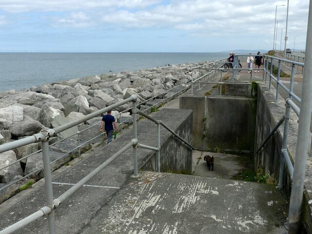
Image: © Alan Murray-Rust Taken: 22 Jun 2024
The concrete wall was built in the 2nd half of the 20th century following storm damage in the 1950s.
Images are licensed for reuse under creativecommons.org/licenses/by-sa/2.0
Image Location
Latitude
53.315471
Longitude
-3.746304