Rivet Benchmark on footpath step near Croesged
Introduction
The photograph on this page of Rivet Benchmark on footpath step near Croesged by MayfieldAlpha as part of the Geograph project.
The Geograph project started in 2005 with the aim of publishing, organising and preserving representative images for every square kilometre of Great Britain, Ireland and the Isle of Man.

There are currently over 7.5m images from over 14,400 individuals and you can help contribute to the project by visiting https://www.geograph.org.uk
Rivet Benchmark on footpath step near Croesged
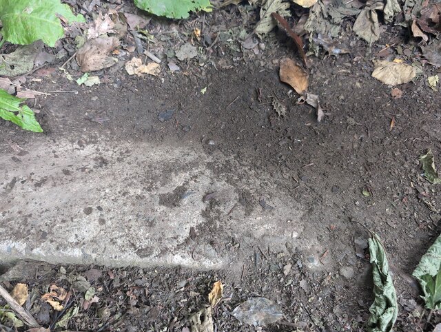
Image: © MayfieldAlpha Taken: 29 Jun 2024
Rivet benchmark found located on a step on the footpath near Croesged. Mostly covered with dirt; you can just make out the mark.
Images are licensed for reuse under creativecommons.org/licenses/by-sa/2.0
Image Location
Latitude
51.560873
Longitude
-3.345363