The Great Stour Way, Canterbury
Introduction
The photograph on this page of The Great Stour Way, Canterbury by pam fray as part of the Geograph project.
The Geograph project started in 2005 with the aim of publishing, organising and preserving representative images for every square kilometre of Great Britain, Ireland and the Isle of Man.

There are currently over 7.5m images from over 14,400 individuals and you can help contribute to the project by visiting https://www.geograph.org.uk
The Great Stour Way, Canterbury
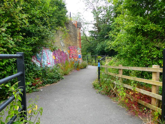
Image: © pam fray Taken: 30 Jun 2024
This section of the path passes by the remains of the old Elham Valley Railway and embankment, much graffitied, on the left. The Great Stour Way was opened on May 21st 2011. It is a three mile surfaced shared use path between Canterbury and Chartham running alongside the river. The path is part of the National Cycle Network, route 18.
Images are licensed for reuse under creativecommons.org/licenses/by-sa/2.0
Image Location
Latitude
51.273521
Longitude
1.061507