Footbridge and Footpath
Introduction
The photograph on this page of Footbridge and Footpath by Chris Sayles as part of the Geograph project.
The Geograph project started in 2005 with the aim of publishing, organising and preserving representative images for every square kilometre of Great Britain, Ireland and the Isle of Man.

There are currently over 7.5m images from over 14,400 individuals and you can help contribute to the project by visiting https://www.geograph.org.uk
Footbridge and Footpath
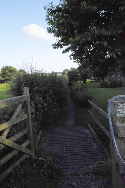
Image: © Chris Sayles Taken: 28 Jun 2024
Looking back, from the trackbed of the old NER Malton to Thirsk railway line, to the footpath across The Lawns to Slingsby.
Images are licensed for reuse under creativecommons.org/licenses/by-sa/2.0
Image Location
Latitude
54.170411
Longitude
-0.935971