The former Mona coaching inn and stables
Introduction
The photograph on this page of The former Mona coaching inn and stables by Eric Jones as part of the Geograph project.
The Geograph project started in 2005 with the aim of publishing, organising and preserving representative images for every square kilometre of Great Britain, Ireland and the Isle of Man.

There are currently over 7.5m images from over 14,400 individuals and you can help contribute to the project by visiting https://www.geograph.org.uk
The former Mona coaching inn and stables
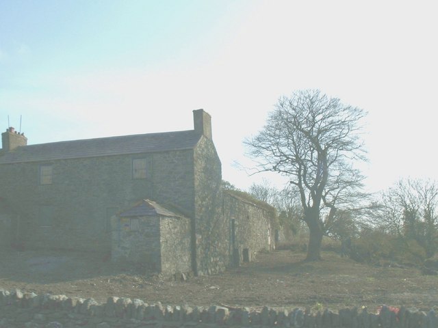
Image: © Eric Jones Taken: 23 Apr 2008
This inn and coaching stables was built as part of Thomas Telford's London-Holyhead road building scheme in the 1820s. It has, however, long ceased to function as an inn.
Images are licensed for reuse under creativecommons.org/licenses/by-sa/2.0
Image Location


Leaflet Map data © OpenStreetMap
Latitude
53.247691
Longitude
-4.36154