Path on new housing development
Introduction
The photograph on this page of Path on new housing development by David Martin as part of the Geograph project.
The Geograph project started in 2005 with the aim of publishing, organising and preserving representative images for every square kilometre of Great Britain, Ireland and the Isle of Man.

There are currently over 7.5m images from over 14,400 individuals and you can help contribute to the project by visiting https://www.geograph.org.uk
Path on new housing development
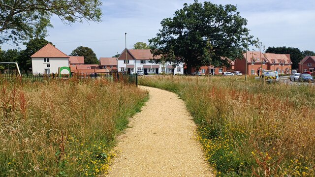
Image: © David Martin Taken: 29 Jun 2024
This path runs parallel to Alpine Close, here looking towards Lakeside Way. The estate has been completed within the last year.
Images are licensed for reuse under creativecommons.org/licenses/by-sa/2.0
Image Location
Latitude
50.930323
Longitude
-1.52198