Calcutt Street, Cricklade
Introduction
The photograph on this page of Calcutt Street, Cricklade by Brian Robert Marshall as part of the Geograph project.
The Geograph project started in 2005 with the aim of publishing, organising and preserving representative images for every square kilometre of Great Britain, Ireland and the Isle of Man.

There are currently over 7.5m images from over 14,400 individuals and you can help contribute to the project by visiting https://www.geograph.org.uk
Calcutt Street, Cricklade
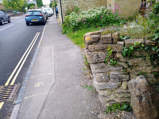
Image: © Brian Robert Marshall Taken: 9 Jun 2024
The stone in the lower left corner is a meer stone, a boundary marker. It can been seen in a little more detail here Image
Images are licensed for reuse under creativecommons.org/licenses/by-sa/2.0
Image Location
Latitude
51.640389
Longitude
-1.851689