Cornwall Avenue
Introduction
The photograph on this page of Cornwall Avenue by Ian Capper as part of the Geograph project.
The Geograph project started in 2005 with the aim of publishing, organising and preserving representative images for every square kilometre of Great Britain, Ireland and the Isle of Man.

There are currently over 7.5m images from over 14,400 individuals and you can help contribute to the project by visiting https://www.geograph.org.uk
Cornwall Avenue
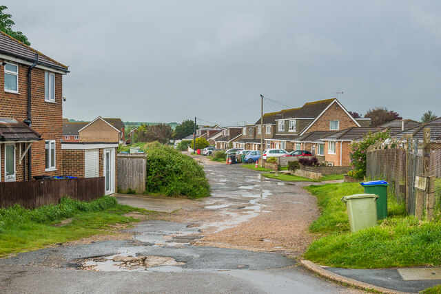
Image: © Ian Capper Taken: 21 May 2024
Unmade up section of Cornwall Avenue north of Arundel Road. It was first marked on the 1955 1:2500 map, with a few houses that had been shown on the route on earlier maps, seemingly without access. These have since been replaced by the more continuous development seen here.
Images are licensed for reuse under creativecommons.org/licenses/by-sa/2.0
Image Location
Latitude
50.790441
Longitude
0.017733