Demolished Swingate House Site Stevenage
Introduction
The photograph on this page of Demolished Swingate House Site Stevenage by Andy Steele as part of the Geograph project.
The Geograph project started in 2005 with the aim of publishing, organising and preserving representative images for every square kilometre of Great Britain, Ireland and the Isle of Man.

There are currently over 7.5m images from over 14,400 individuals and you can help contribute to the project by visiting https://www.geograph.org.uk
Demolished Swingate House Site Stevenage
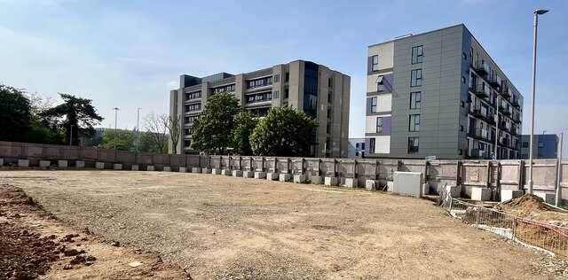
Image: © Andy Steele Taken: 11 May 2024
Located in Stevenage Town Centre. The remaining old footprint that once stood Swingate House which was demolished in 2022 to make way for new Apartments up to 10 storeys high renamed to Northern Quarter.
Images are licensed for reuse under creativecommons.org/licenses/by-sa/2.0
Image Location
Latitude
51.902641
Longitude
-0.204862