Ashington Gardens
Introduction
The photograph on this page of Ashington Gardens by Ian Capper as part of the Geograph project.
The Geograph project started in 2005 with the aim of publishing, organising and preserving representative images for every square kilometre of Great Britain, Ireland and the Isle of Man.

There are currently over 7.5m images from over 14,400 individuals and you can help contribute to the project by visiting https://www.geograph.org.uk
Ashington Gardens
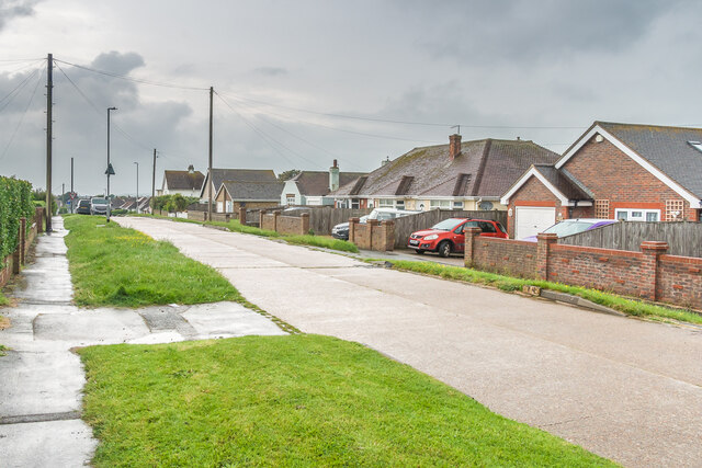
Image: © Ian Capper Taken: 21 May 2024
Road at the eastern end of Peacehaven, marked without any houses on the 1928 25 inch map, with subsequent maps showing sporadic building, typical of the random development of Peacehaven.
Images are licensed for reuse under creativecommons.org/licenses/by-sa/2.0
Image Location
Latitude
50.788727
Longitude
0.020072