Ballysallagh Road near Clandeboye
Introduction
The photograph on this page of Ballysallagh Road near Clandeboye by Rossographer as part of the Geograph project.
The Geograph project started in 2005 with the aim of publishing, organising and preserving representative images for every square kilometre of Great Britain, Ireland and the Isle of Man.

There are currently over 7.5m images from over 14,400 individuals and you can help contribute to the project by visiting https://www.geograph.org.uk
Ballysallagh Road near Clandeboye
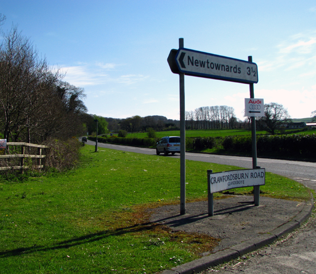
Image: © Rossographer Taken: 27 Apr 2008
The Ballysallagh Road can be seen running towards Craigantlet, seen at the junction with the Crawfordsburn Road near Clandeboye. The Crawfordsburn Road runs right-left towards Newtownards, as indicated by the road signs.
Images are licensed for reuse under creativecommons.org/licenses/by-sa/2.0
Image Location
Latitude
54.637733
Longitude
-5.723702