Westgate Community Primary School
Introduction
The photograph on this page of Westgate Community Primary School by Westgate Primary as part of the Geograph project.
The Geograph project started in 2005 with the aim of publishing, organising and preserving representative images for every square kilometre of Great Britain, Ireland and the Isle of Man.

There are currently over 7.5m images from over 14,400 individuals and you can help contribute to the project by visiting https://www.geograph.org.uk
Westgate Community Primary School
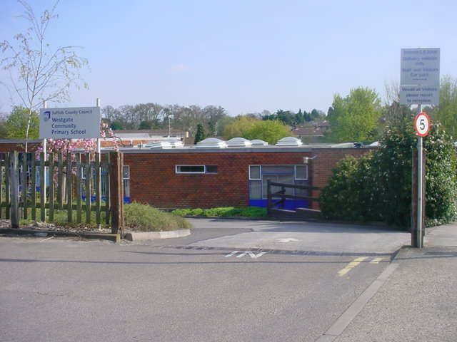
Image: © Westgate Primary Taken: 22 Apr 2008
Our school has a nursery and a HIU and we leave this school to go to Middle school when we are nine.
Images are licensed for reuse under creativecommons.org/licenses/by-sa/2.0
Image Location
Latitude
52.238787
Longitude
0.703604