Entrance to Brinsley Headstocks
Introduction
The photograph on this page of Entrance to Brinsley Headstocks by John Poyser as part of the Geograph project.
The Geograph project started in 2005 with the aim of publishing, organising and preserving representative images for every square kilometre of Great Britain, Ireland and the Isle of Man.

There are currently over 7.5m images from over 14,400 individuals and you can help contribute to the project by visiting https://www.geograph.org.uk
Entrance to Brinsley Headstocks
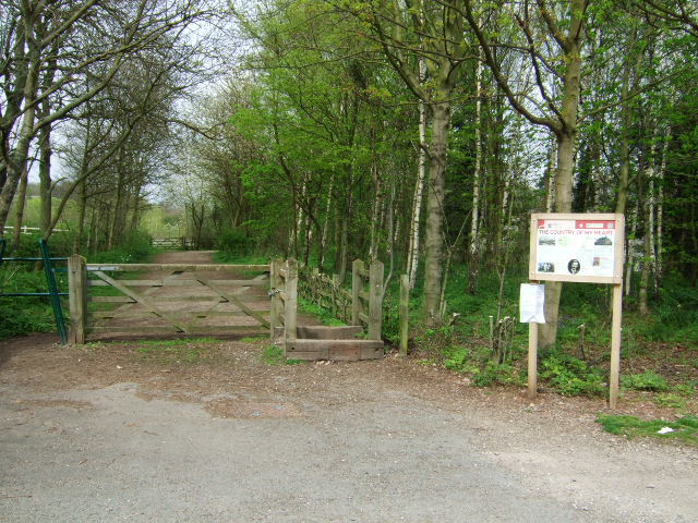
Image: © John Poyser Taken: 27 Apr 2008
The entry up to the headstocks and park is via the disused railway, now a gravel track.
Images are licensed for reuse under creativecommons.org/licenses/by-sa/2.0
Image Location
Latitude
53.032403
Longitude
-1.308804