Dairy Farm, Meadow Street, Weobley
Introduction
The photograph on this page of Dairy Farm, Meadow Street, Weobley by Philip Pankhurst as part of the Geograph project.
The Geograph project started in 2005 with the aim of publishing, organising and preserving representative images for every square kilometre of Great Britain, Ireland and the Isle of Man.

There are currently over 7.5m images from over 14,400 individuals and you can help contribute to the project by visiting https://www.geograph.org.uk
Dairy Farm, Meadow Street, Weobley
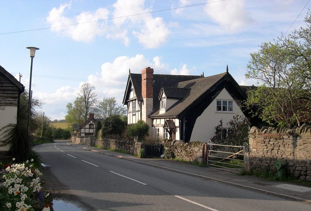
Image: © Philip Pankhurst Taken: 27 Apr 2008
The exposed cruck means a very early date, possibly early 14th cebtury. Fenmore in the distance has recently had a timbered wing added.
Images are licensed for reuse under creativecommons.org/licenses/by-sa/2.0
Image Location
Latitude
52.161378
Longitude
-2.878256