Ruined Building near Newtoft
Introduction
The photograph on this page of Ruined Building near Newtoft by Colin Babb as part of the Geograph project.
The Geograph project started in 2005 with the aim of publishing, organising and preserving representative images for every square kilometre of Great Britain, Ireland and the Isle of Man.

There are currently over 7.5m images from over 14,400 individuals and you can help contribute to the project by visiting https://www.geograph.org.uk
Ruined Building near Newtoft
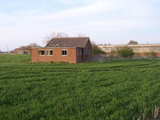
Image: © Colin Babb Taken: 22 Apr 2008
This area seems to be full of ruined buildings. I imagine that this was one of the building on the old airfield that was here.
Images are licensed for reuse under creativecommons.org/licenses/by-sa/2.0
Image Location


Leaflet Map data © OpenStreetMap
Latitude
53.363485
Longitude
-0.442068