Playground
Introduction
The photograph on this page of Playground by Bill Nicholls as part of the Geograph project.
The Geograph project started in 2005 with the aim of publishing, organising and preserving representative images for every square kilometre of Great Britain, Ireland and the Isle of Man.

There are currently over 7.5m images from over 14,400 individuals and you can help contribute to the project by visiting https://www.geograph.org.uk
Playground
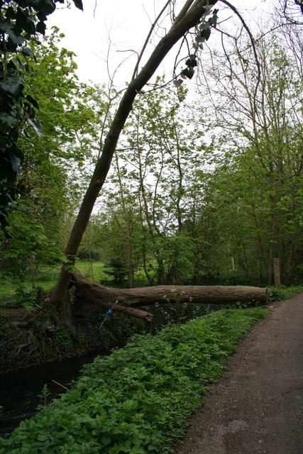
Image: © Bill Nicholls Taken: 27 Apr 2008
Looks like the local kids have taken advantage of the fallen tree to make a swing over the brook.
Images are licensed for reuse under creativecommons.org/licenses/by-sa/2.0
Image Location
Latitude
51.593614
Longitude
-1.124705