Small open space on the edge of Wedmore
Introduction
The photograph on this page of Small open space on the edge of Wedmore by Neil Owen as part of the Geograph project.
The Geograph project started in 2005 with the aim of publishing, organising and preserving representative images for every square kilometre of Great Britain, Ireland and the Isle of Man.

There are currently over 7.5m images from over 14,400 individuals and you can help contribute to the project by visiting https://www.geograph.org.uk
Small open space on the edge of Wedmore
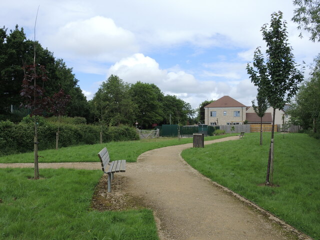
Image: © Neil Owen Taken: 27 May 2024
As the village has grown outwards to the school, a number of new houses have been built as well as a sewage pumping station. In some compensation, a little ribbon of open green space has also been created.
Images are licensed for reuse under creativecommons.org/licenses/by-sa/2.0
Image Location
Latitude
51.223359
Longitude
-2.821187