Doddington & Rollo Community Garden
Introduction
The photograph on this page of Doddington & Rollo Community Garden by David Hawgood as part of the Geograph project.
The Geograph project started in 2005 with the aim of publishing, organising and preserving representative images for every square kilometre of Great Britain, Ireland and the Isle of Man.

There are currently over 7.5m images from over 14,400 individuals and you can help contribute to the project by visiting https://www.geograph.org.uk
Doddington & Rollo Community Garden
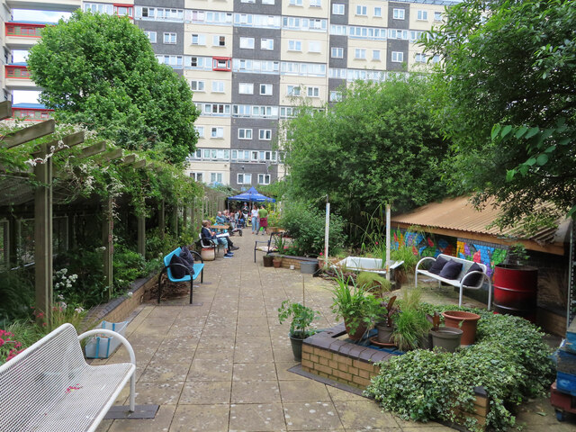
Image: © David Hawgood Taken: 8 Jun 2024
Open for London Open Gardens weekend.View to Lucas Court.
Images are licensed for reuse under creativecommons.org/licenses/by-sa/2.0
Image Location
Latitude
51.473974
Longitude
-0.15219