Along The Lerburne
Introduction
The photograph on this page of Along The Lerburne by Neil Owen as part of the Geograph project.
The Geograph project started in 2005 with the aim of publishing, organising and preserving representative images for every square kilometre of Great Britain, Ireland and the Isle of Man.

There are currently over 7.5m images from over 14,400 individuals and you can help contribute to the project by visiting https://www.geograph.org.uk
Along The Lerburne
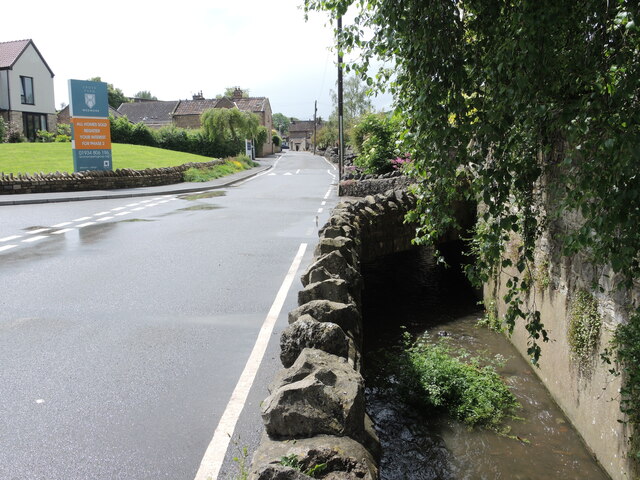
Image: © Neil Owen Taken: 27 May 2024
FLowing through the heart of Wedmore are a few drainage streams. Here, at the bottom of Red Hill, the latest expansion of the housing meets the stream as it passes the ends of older gardens.
Images are licensed for reuse under creativecommons.org/licenses/by-sa/2.0
Image Location
Latitude
51.228404
Longitude
-2.806812