All Saints Church
Introduction
The photograph on this page of All Saints Church by Chris Sayles as part of the Geograph project.
The Geograph project started in 2005 with the aim of publishing, organising and preserving representative images for every square kilometre of Great Britain, Ireland and the Isle of Man.

There are currently over 7.5m images from over 14,400 individuals and you can help contribute to the project by visiting https://www.geograph.org.uk
All Saints Church
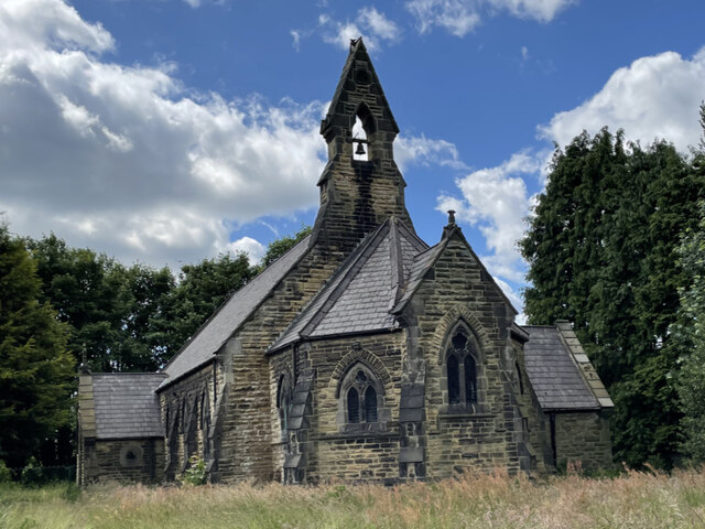
Image: © Chris Sayles Taken: 8 Jun 2024
The Church of All Saints at Whitley looking rather run down. Looks as though the church has been abandoned. Pictures on the Parish website dated 2014 show it looking well kempt.
Images are licensed for reuse under creativecommons.org/licenses/by-sa/2.0
Image Location


Leaflet Map data © OpenStreetMap
Latitude
53.690835
Longitude
-1.154811