National cycle network south of Chertsey Bridge
Introduction
The photograph on this page of National cycle network south of Chertsey Bridge by David Lally as part of the Geograph project.
The Geograph project started in 2005 with the aim of publishing, organising and preserving representative images for every square kilometre of Great Britain, Ireland and the Isle of Man.

There are currently over 7.5m images from over 14,400 individuals and you can help contribute to the project by visiting https://www.geograph.org.uk
National cycle network south of Chertsey Bridge
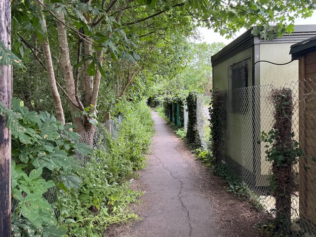
Image: © David Lally Taken: 7 Jun 2024
A narrow footpath (not a bridleway!) between Mead Lane and Addlestone Moor.
Images are licensed for reuse under creativecommons.org/licenses/by-sa/2.0
Image Location
Latitude
51.382756
Longitude
-0.488677