Plumstead: Riverdale Road, SE18
Introduction
The photograph on this page of Plumstead: Riverdale Road, SE18 by Nigel Cox as part of the Geograph project.
The Geograph project started in 2005 with the aim of publishing, organising and preserving representative images for every square kilometre of Great Britain, Ireland and the Isle of Man.

There are currently over 7.5m images from over 14,400 individuals and you can help contribute to the project by visiting https://www.geograph.org.uk
Plumstead: Riverdale Road, SE18
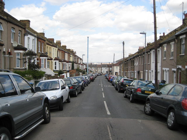
Image: © Nigel Cox Taken: 15 Apr 2008
This is Riverdale Road viewed looking down towards the High Street. The pale blue column is a sewer vent pipe, the top of which must be higher than the ridges of the house roofs.
Images are licensed for reuse under creativecommons.org/licenses/by-sa/2.0
Image Location
Latitude
51.48584
Longitude
0.094159