Upper Ash Croft/Middle Ash Croft/Further Ash Croft
Introduction
The photograph on this page of Upper Ash Croft/Middle Ash Croft/Further Ash Croft by Simon Carey as part of the Geograph project.
The Geograph project started in 2005 with the aim of publishing, organising and preserving representative images for every square kilometre of Great Britain, Ireland and the Isle of Man.

There are currently over 7.5m images from over 14,400 individuals and you can help contribute to the project by visiting https://www.geograph.org.uk
Upper Ash Croft/Middle Ash Croft/Further Ash Croft
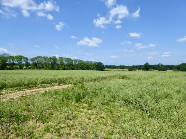
Image: © Simon Carey Taken: 2 Jun 2024
The name of the fields according to Northchapel's 1837 tithe map that have been merged. Upper Ash Croft was to the south bounded by pipers Lane on its southern and eastern side, Further Ash Croft was to the north and is next to Image, whilst Middle Ash Croft was, surprisingly, between the two.
Images are licensed for reuse under creativecommons.org/licenses/by-sa/2.0
Image Location
Latitude
51.058427
Longitude
-0.622279