Pond Bay, Mitchell Park Forge
Introduction
The photograph on this page of Pond Bay, Mitchell Park Forge by Simon Carey as part of the Geograph project.
The Geograph project started in 2005 with the aim of publishing, organising and preserving representative images for every square kilometre of Great Britain, Ireland and the Isle of Man.

There are currently over 7.5m images from over 14,400 individuals and you can help contribute to the project by visiting https://www.geograph.org.uk
Pond Bay, Mitchell Park Forge
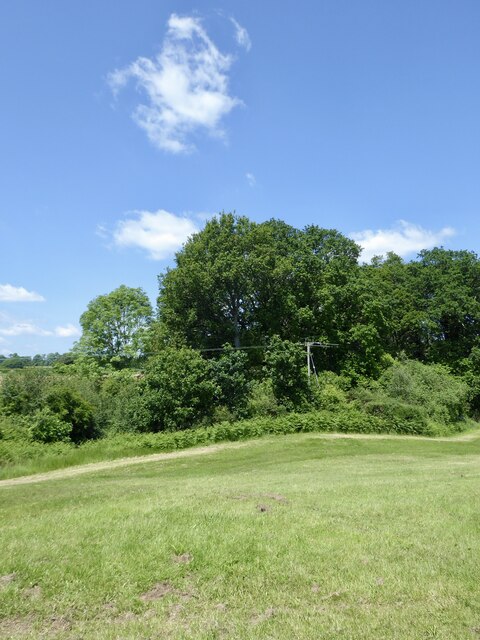
Image: © Simon Carey Taken: 2 Jun 2024
The bay was constructed for a pen pond, see Image, for the forge, see Image Pen ponds were extra reservoirs of water released to fill the main pond when water was running low. There is another, see Image, a little downstream. Much of the bay's remains is amongst the foliage with just small rises on the ground indicating its former presence.
Images are licensed for reuse under creativecommons.org/licenses/by-sa/2.0
Image Location
Latitude
51.059565
Longitude
-0.619677