Embankment on the 1785 Caldon Low Railway
Introduction
The photograph on this page of Embankment on the 1785 Caldon Low Railway by Ian Calderwood as part of the Geograph project.
The Geograph project started in 2005 with the aim of publishing, organising and preserving representative images for every square kilometre of Great Britain, Ireland and the Isle of Man.

There are currently over 7.5m images from over 14,400 individuals and you can help contribute to the project by visiting https://www.geograph.org.uk
Embankment on the 1785 Caldon Low Railway
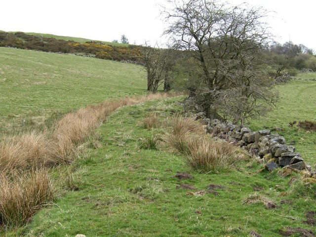
Image: © Ian Calderwood Taken: 26 Apr 2008
There were four phases of tramroad building between Caldon Low Quarry and the Caldon Canal at Froghall. The second of these was a single-track wooden waggon-way, topped with iron, which ran along this low embankment. The waggons were horse-drawn singly, with no signalling or other controls. Traffic travelling in opposite directions was handled by providing passing loops at intervals along the line.
Images are licensed for reuse under creativecommons.org/licenses/by-sa/2.0
Image Location
Latitude
53.029882
Longitude
-1.910942