Estcourt Road, Gloucester
Introduction
The photograph on this page of Estcourt Road, Gloucester by David Stowell as part of the Geograph project.
The Geograph project started in 2005 with the aim of publishing, organising and preserving representative images for every square kilometre of Great Britain, Ireland and the Isle of Man.

There are currently over 7.5m images from over 14,400 individuals and you can help contribute to the project by visiting https://www.geograph.org.uk
Estcourt Road, Gloucester
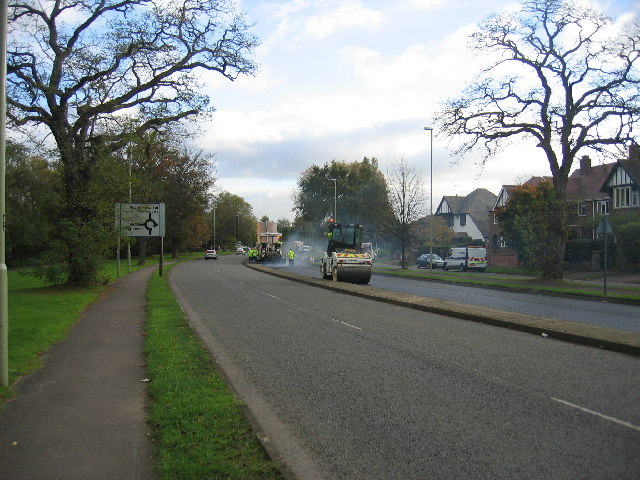
Image: © David Stowell Taken: 13 Nov 2005
This road originally formed a northern bypass for Gloucester but as the city has grown a newer bypass has been built further out. At the time the picture was taken one carriageway was closed for the resurfacing work seen in the distance.
Images are licensed for reuse under creativecommons.org/licenses/by-sa/2.0
Image Location


Leaflet Map data © OpenStreetMap
Latitude
51.871155
Longitude
-2.226535