Start of footpath from Brent Road to Bridge Road
Introduction
The photograph on this page of Start of footpath from Brent Road to Bridge Road by pam fray as part of the Geograph project.
The Geograph project started in 2005 with the aim of publishing, organising and preserving representative images for every square kilometre of Great Britain, Ireland and the Isle of Man.

There are currently over 7.5m images from over 14,400 individuals and you can help contribute to the project by visiting https://www.geograph.org.uk
Start of footpath from Brent Road to Bridge Road
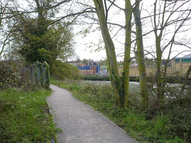
Image: © pam fray Taken: 27 Apr 2008
On the far side of the creek, Shepherd Neame's crates can be seen stacked up and part of the Co-op supermarket buildings are on the right.
Images are licensed for reuse under creativecommons.org/licenses/by-sa/2.0
Image Location
Latitude
51.318555
Longitude
0.885662