View along Stour Valley walk
Introduction
The photograph on this page of View along Stour Valley walk by Nick Smith as part of the Geograph project.
The Geograph project started in 2005 with the aim of publishing, organising and preserving representative images for every square kilometre of Great Britain, Ireland and the Isle of Man.

There are currently over 7.5m images from over 14,400 individuals and you can help contribute to the project by visiting https://www.geograph.org.uk
View along Stour Valley walk
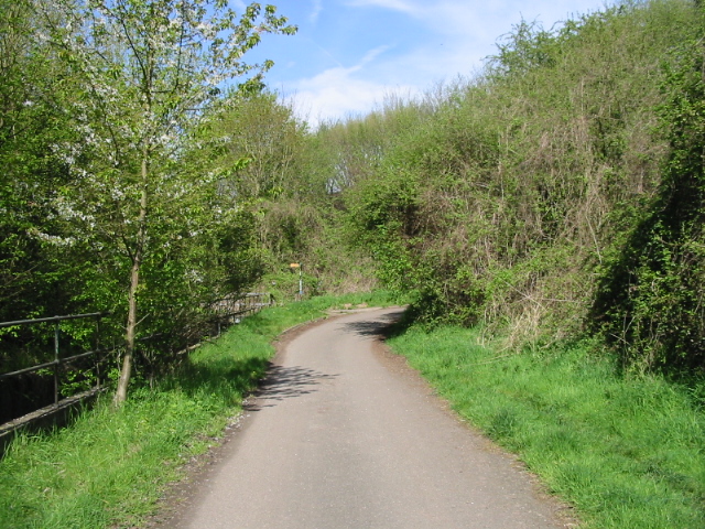
Image: © Nick Smith Taken: 26 Apr 2008
The Stour Valley walk follows the lane as far as the yellow signpost, where it goes under the A2 via a tunnel.
Images are licensed for reuse under creativecommons.org/licenses/by-sa/2.0
Image Location
Latitude
51.275006
Longitude
1.052859