Crossroads on B487 Hemel Hempstead Road
Introduction
The photograph on this page of Crossroads on B487 Hemel Hempstead Road by Robin Webster as part of the Geograph project.
The Geograph project started in 2005 with the aim of publishing, organising and preserving representative images for every square kilometre of Great Britain, Ireland and the Isle of Man.

There are currently over 7.5m images from over 14,400 individuals and you can help contribute to the project by visiting https://www.geograph.org.uk
Crossroads on B487 Hemel Hempstead Road
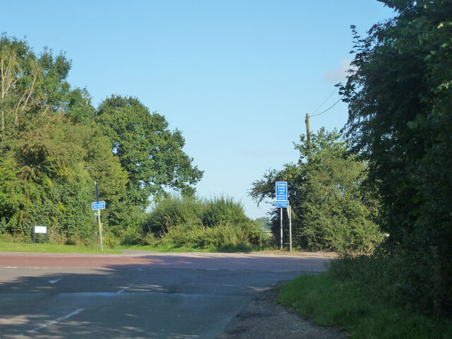
Image: © Robin Webster Taken: 6 Sep 2015
Looking from Cherry Tree Lane across to Holtsmere End Lane.
Images are licensed for reuse under creativecommons.org/licenses/by-sa/2.0
Image Location
Latitude
51.777464
Longitude
-0.43046