Hanover Arms
Introduction
The photograph on this page of Hanover Arms by Des Blenkinsopp as part of the Geograph project.
The Geograph project started in 2005 with the aim of publishing, organising and preserving representative images for every square kilometre of Great Britain, Ireland and the Isle of Man.

There are currently over 7.5m images from over 14,400 individuals and you can help contribute to the project by visiting https://www.geograph.org.uk
Hanover Arms
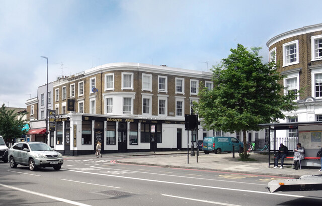
Image: © Des Blenkinsopp Taken: 23 May 2024
A pub on the corner of Hanover Gardens. At one time presumably a curved corner frontage matching the one opposite. At some time a ground floor extension has been added to fill the corner space similar to where the tree over the road is.
Images are licensed for reuse under creativecommons.org/licenses/by-sa/2.0
Image Location
Latitude
51.481356
Longitude
-0.113151