Benchmark at the end of Cottles Lane
Introduction
The photograph on this page of Benchmark at the end of Cottles Lane by Neil Owen as part of the Geograph project.
The Geograph project started in 2005 with the aim of publishing, organising and preserving representative images for every square kilometre of Great Britain, Ireland and the Isle of Man.

There are currently over 7.5m images from over 14,400 individuals and you can help contribute to the project by visiting https://www.geograph.org.uk
Benchmark at the end of Cottles Lane
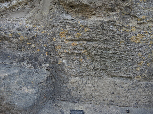
Image: © Neil Owen Taken: 21 May 2024
A nineteenth century benchmark can be found near the junction with Turleigh Hill. See https://www.bench-marks.org.uk/bm170745 for the entry in the Benchmark Database and Image] for a wider view up the road.
Images are licensed for reuse under creativecommons.org/licenses/by-sa/2.0
Image Location
Latitude
51.345319
Longitude
-2.279206