Whaley Bridge Sewage Works
Introduction
The photograph on this page of Whaley Bridge Sewage Works by Dave Dunford as part of the Geograph project.
The Geograph project started in 2005 with the aim of publishing, organising and preserving representative images for every square kilometre of Great Britain, Ireland and the Isle of Man.

There are currently over 7.5m images from over 14,400 individuals and you can help contribute to the project by visiting https://www.geograph.org.uk
Whaley Bridge Sewage Works
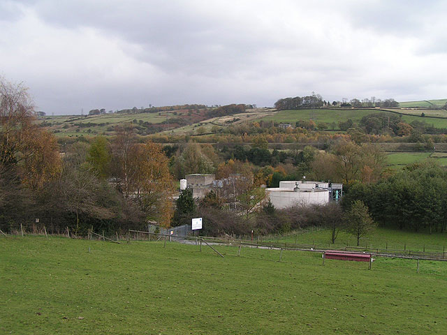
Image: © Dave Dunford Taken: 12 Nov 2005
From the towpath of the Peak Forest Canal looking east. The Manchester-Sheffield railway line is visible in the midground; the River Goyt is not visible, but runs around the back of the sewage works.
Images are licensed for reuse under creativecommons.org/licenses/by-sa/2.0
Image Location
Latitude
53.345694
Longitude
-1.98494