Cricket Pavilion, Village Green
Introduction
The photograph on this page of Cricket Pavilion, Village Green by Simon Carey as part of the Geograph project.
The Geograph project started in 2005 with the aim of publishing, organising and preserving representative images for every square kilometre of Great Britain, Ireland and the Isle of Man.

There are currently over 7.5m images from over 14,400 individuals and you can help contribute to the project by visiting https://www.geograph.org.uk
Cricket Pavilion, Village Green
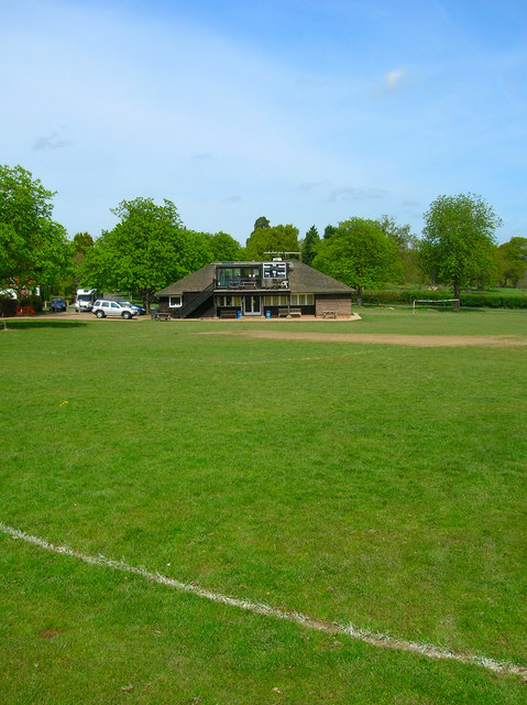
Image: © Simon Carey Taken: 26 Apr 2008
The village green is in the centre of the village surrounded by the five roads that leave the village. The green also includes both cricket and football pitch with the former's pavilion in the north west corner.
Images are licensed for reuse under creativecommons.org/licenses/by-sa/2.0
Image Location
Latitude
51.024178
Longitude
-0.506227